
Red Butte Mountain 7326′
Grand Canyon National Park-ish
Total Time: 1:30
Roundtrip Mileage: 3.0
Elevation Gain: 920′
Crux: Class 1
Trailhead: Red Butte Trail, no services


Red Butte Mountain is the most striking summit along AZ Route 64 from Williams to the South Rim. I had passed by it nearly every time I went to the Grand Canyon (exceptions being trips to the North Rim) and had always told myself that I’d stop to climb it one day if I had enough time. I imagine others felt that same, but with world class hiking another 30 minutes at the South Rim, it was hard to justify the pit stop. But after striking out on Mount Burro and Pollux Temple after the easy trip up Fossil Mountain, I wanted any easy consolation prize before driving back to Phoenix. I pulled off Route 64 onto the well graded Forest Road 320 just to the SW of the peak, and followed the road about 2 miles before turning onto the signed FR 340, following signs for the trailhead. The trailhead has plenty of parking with fairly new signage explaining the history of the mountain and geology of the upper cliff bands.

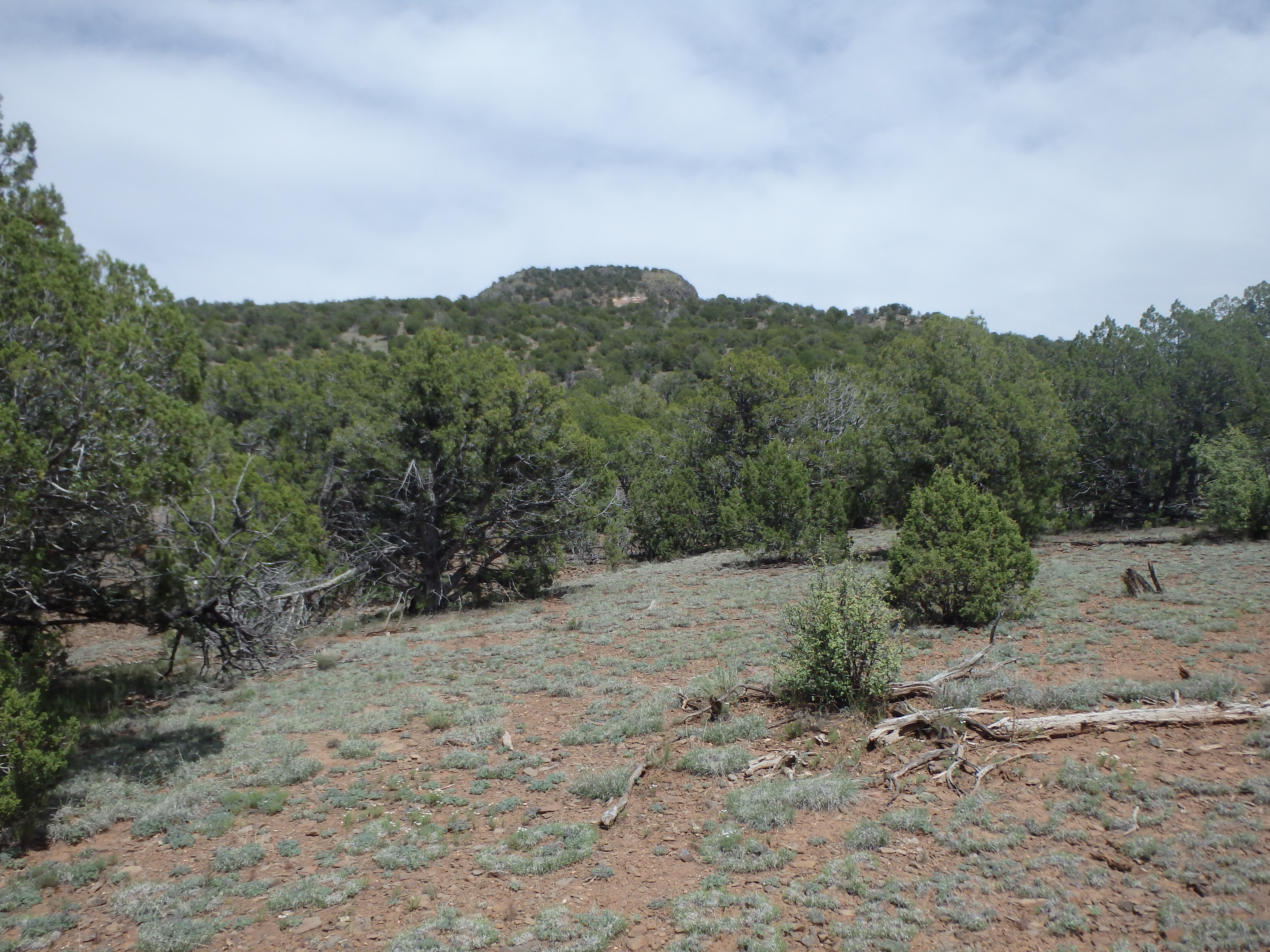
I left the trailhead and started along the easy to follow trail up the slopes as it slowly switched up the ever-steepening grade. The trail actually climbs nearly to the top of a small hill at 7000′ just to the west of the cliff bands and then dips to a higher saddle before the switchbacks resume below the cliffs.
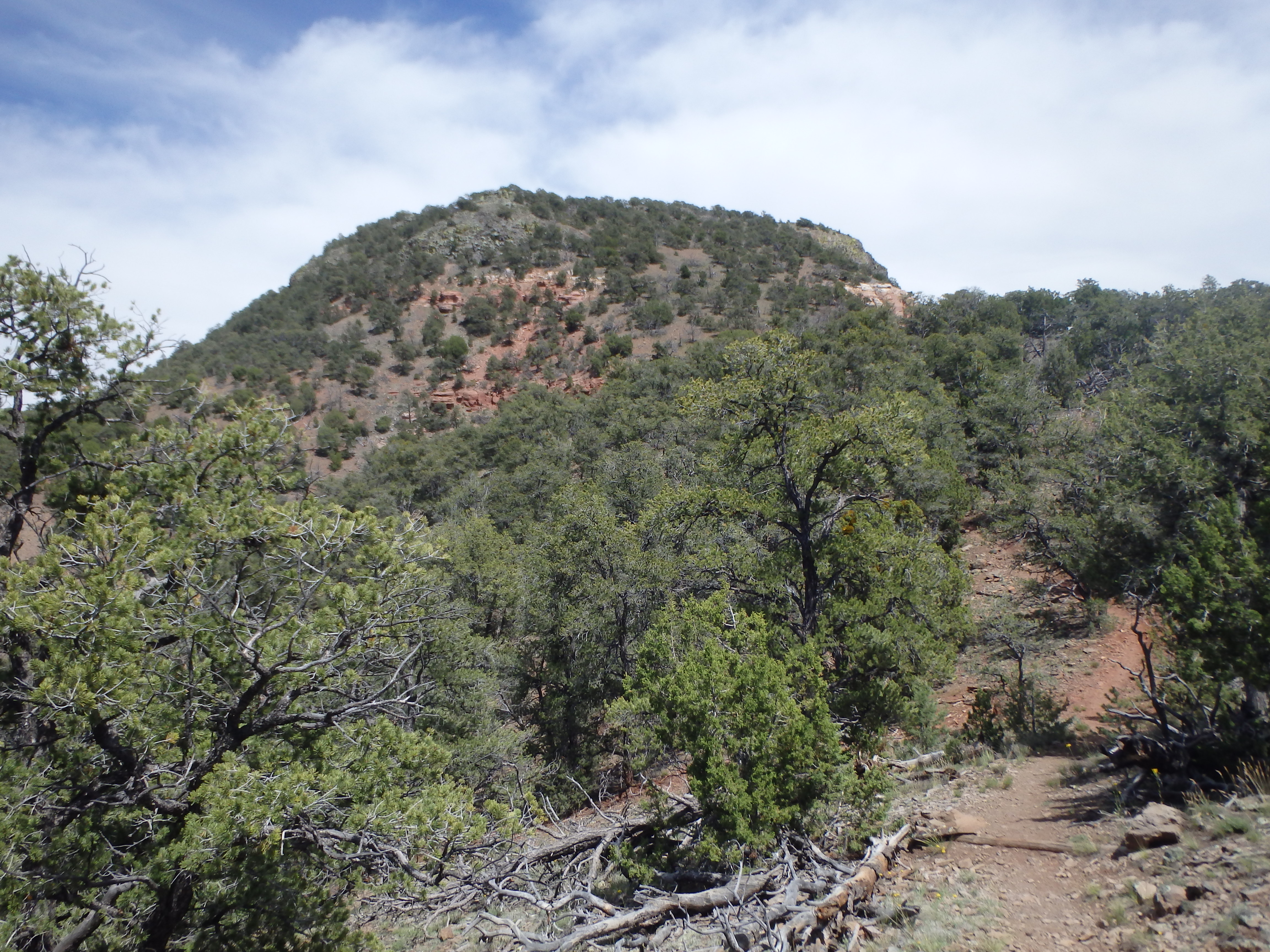
Reaching the base of the southwest summit cliffs, the terrain transitions from high pine forest to sandstone slabs as it ascended the namesake Red cliffs just below the summit. The exposed rock was short lived, and I reached the summit about 45 minutes from starting out. The summit is quite flat, and I followed the trail to the highpoint on the eastern end and location of a forest lookout, still in operation during the summer months. The fire lookout was one of the first I had been to in Arizona that welcomed visitors, and I climbed the steps to the empty lookout to take in the impressive views to Humphreys Peak and the San Francisco Volcano Field to the southeast.
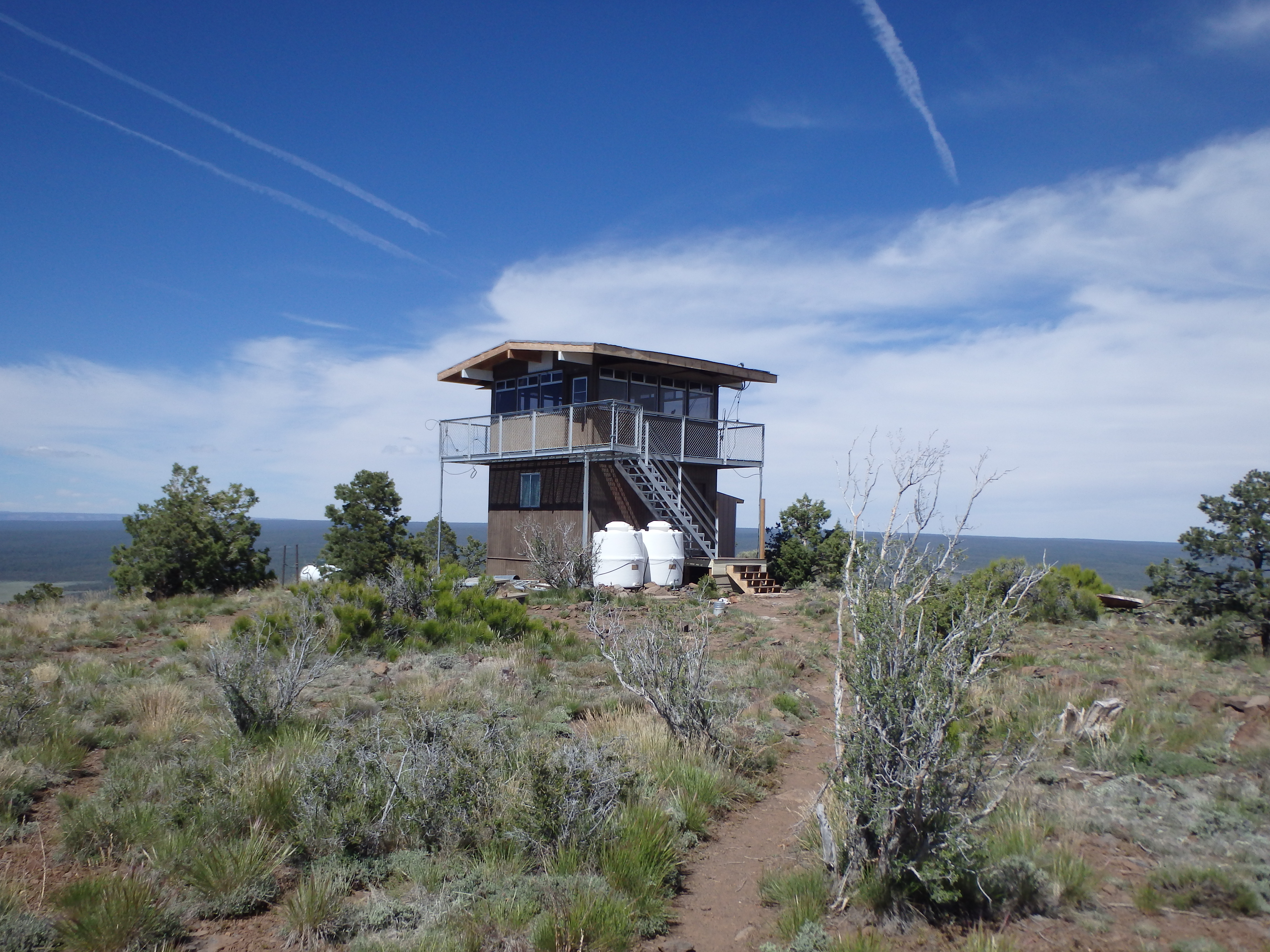
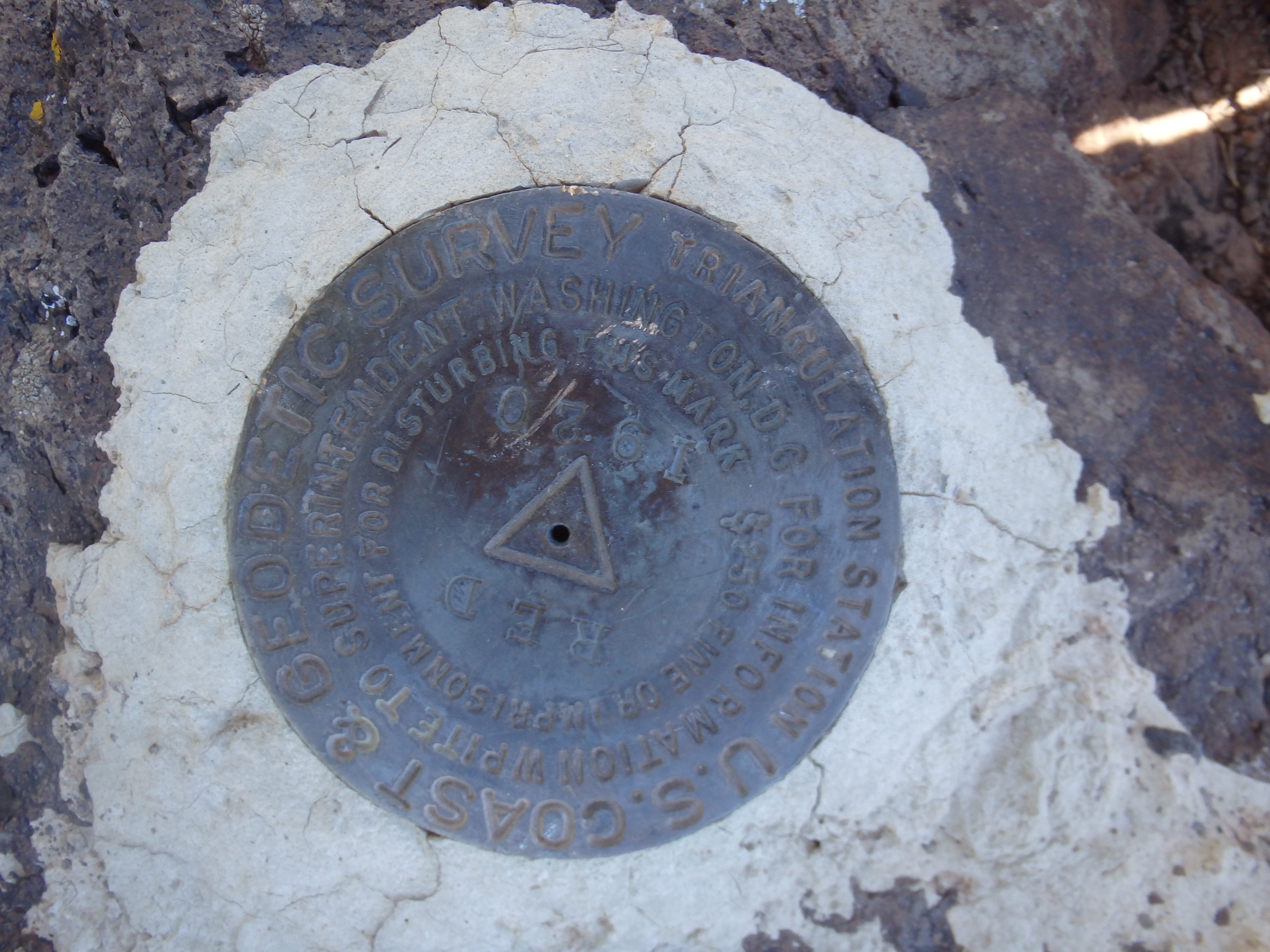

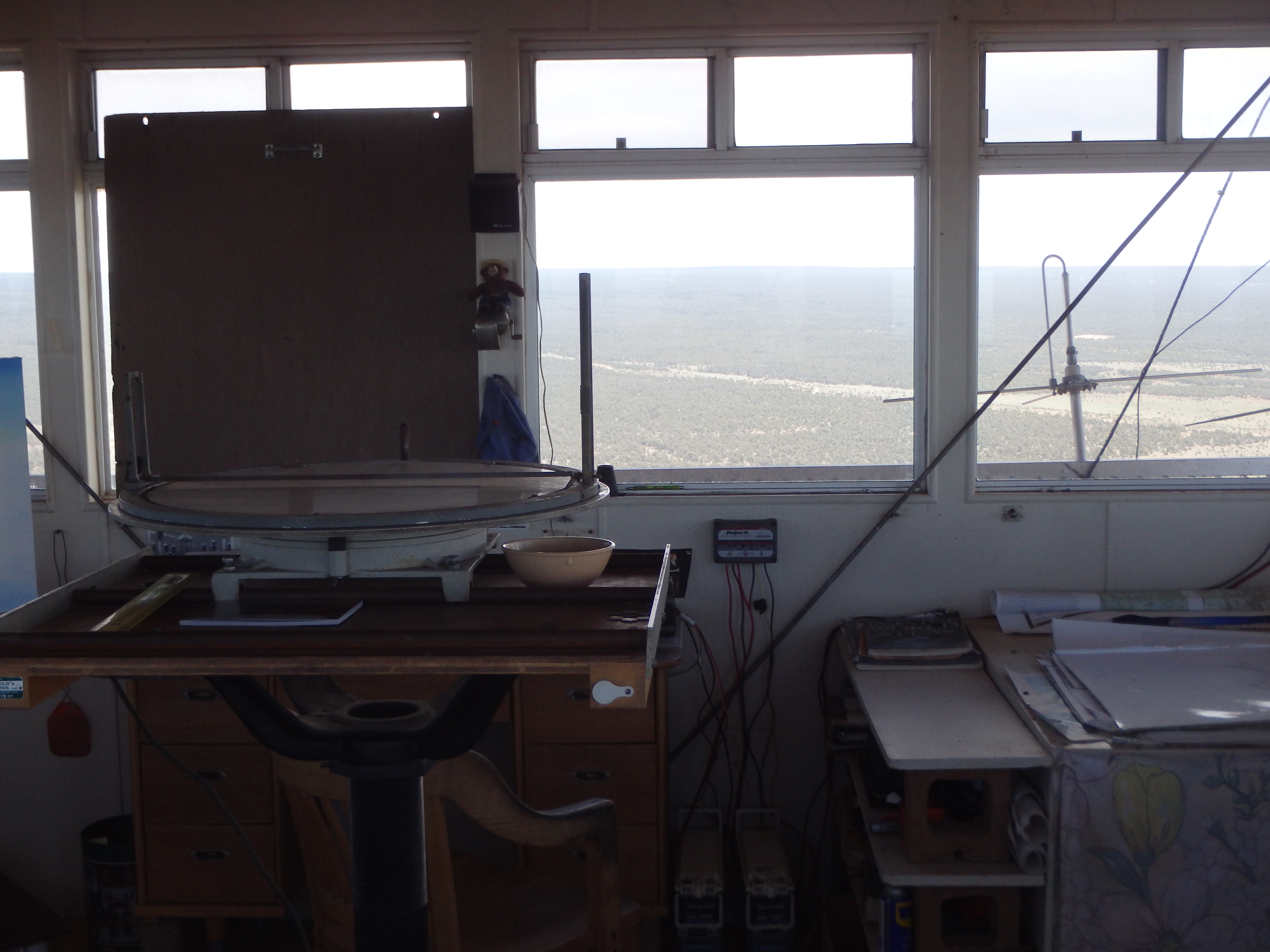

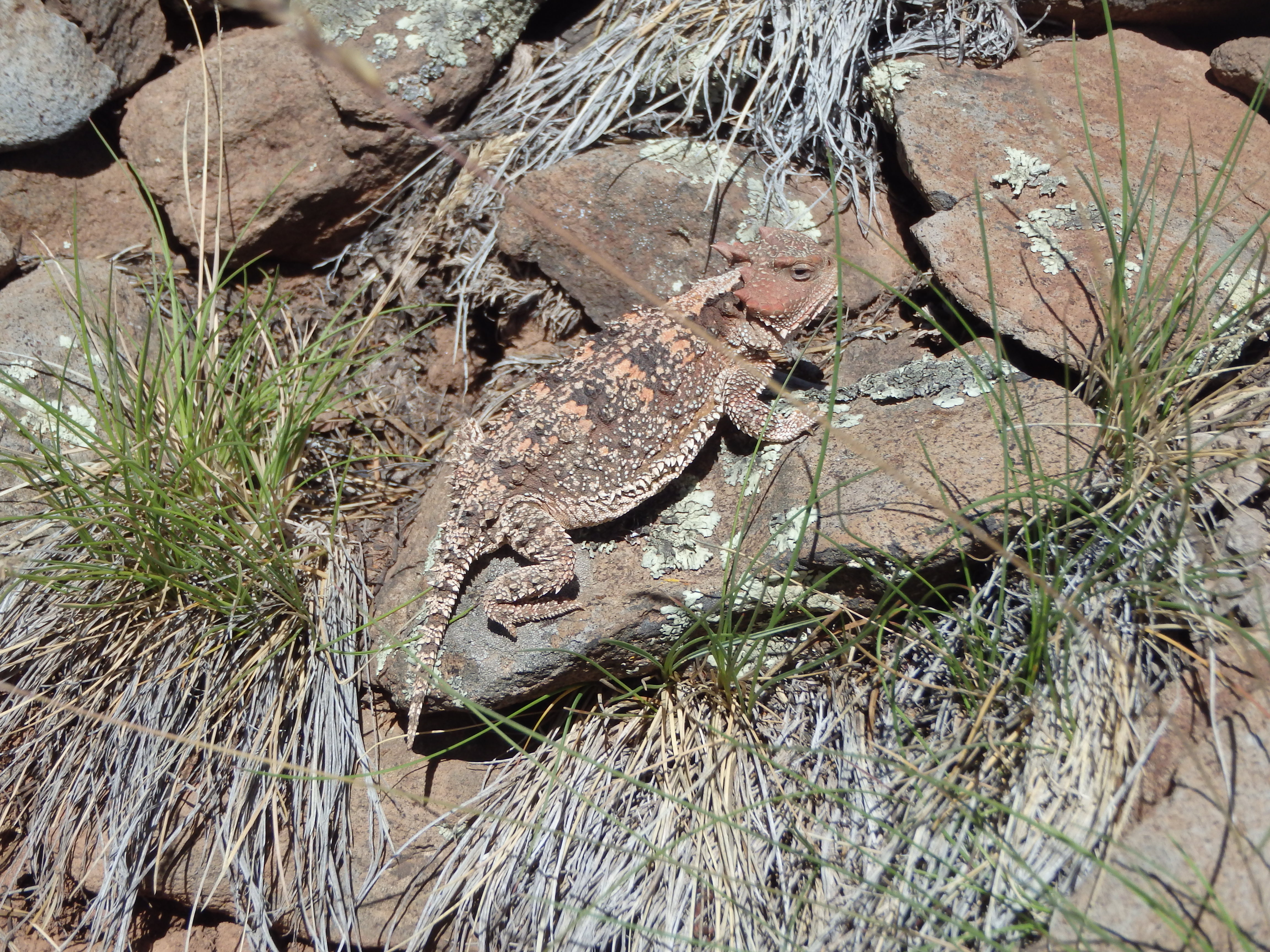
Unfortunately, you couldn’t see much of the Grand Canyon from the lookout, with hints of the North Rim in the hazy distance. Leaving the fire tower, I poked around the summit a bit longer, looking at the helipad, various out buildings, and the summit benchmark. Satisfied, I started back down the trail towards the car. En route I passed a fairly large horned toad, as well as a beautiful bright green Eastern Collard Lizard, both letting me close enough to take some decent photos before scampering away.

Back at the car I headed to Flagstaff for an early dinner with plans to get home early. Unfortunately, a massive accident blocked all roads on I-17 and I was rerouted through Prescott, over the Bradshaw Mountains and into Wickenburg, taking over 5 hours to get home and not getting back to Phoenix until after 11. I guess I should have just gone for Pollux Temple after all….